ID: 108
Open
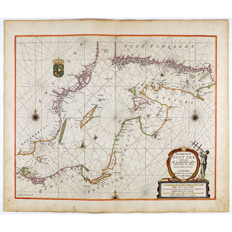
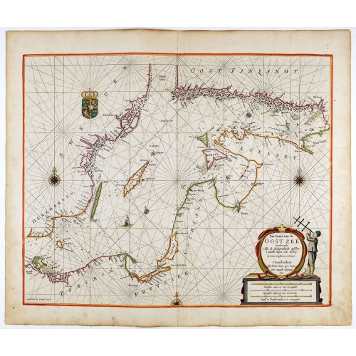
Pas-Caart van de Oost Zee verthooende alle de ghelegenheydt tusschen t Eylandt Rugen ende Wyborg. . .
BuyNow for $1.500
- Maker :
- GOOS, P.
- Place :
- Amsterdam
- Date :
- 1666
- Color :
- In original color
- Height mm.:
- 440
- Width mm.:
- 538
- Condition :
- On double-ply paper as issued. Paper very mildly age-toned, as usual. A good and dark impression. In very attractive colors and parts heightened in gold.
- Bibliography :
- -
- Seller's ref. :
- 47715
This item is offered by Paulus_Swaen_Old_Maps
See other Items from this seller- Postage
-
Standard Shipping
$0 to Netherlands
- Select Country
- Zip/Post Code
- Quantity
$1.500
Description
An eye-catching chart of the Baltic Sea. Engraved by Gerard Coeck.Pieter Goos (ca. 1616-1675) was one of the most important cartographers, engravers, publishers and print sellers of Amsterdam. His widow continued business at her husband's death. She re-issued 'Nieuwe Groote Zee-Spiegel in 1676.
The map is in a strictly contemporary coloring and of the highest level.
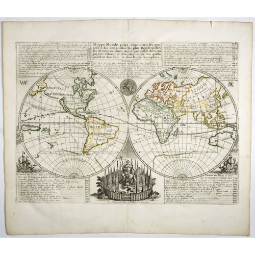
Mappe-Monde pour connoitre les progres & les conquestes..
Unusual double hemisphere map with California as an Island. Dutch text describes the expeditions and colonial possessions of the Dutch East India Company. The map originated in about 1670. Chatelain acquired the plate; he added decorative elements, including sailing ships, the Dutch crest, and a figure representing Europa seated inside a native fort.Zacharie Chatelain (d.1723) was the father of Henri Abraham (1684-1743) and Zacharie Junior (1690-1754).They worked as a partnership publishing the ...
$800
Maker : CHATELAIN, H.
Place : Amsterdam
Date : 1729
Inferior Germania.
Very rare map of the Benelux, centered on the Netherlands. According to van der Heijden only known in 6 examples. Two compass-roses with rumb lines but without the names of the wind directions. Very decorative title cartouche with legend, and underneath a large escutcheon with the coats-of-arms of all the XVII Provinces.The maps shows a striking resemblance, also in details, the one by Jodocus Hondius of 1593 and to the map in four sheets of 1602. For the greater part the text in the title carto...
$4.500
Maker : ANONYMOUS / HONDIUS, J. ?
Place : Amsterdam
Date : ca. 1600
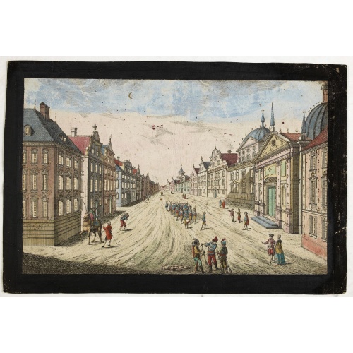
Prospect des Haupt Plazes der Untern Stadt zu Quebec.
A so-called optical print showing a decorative imaginary town view of Québec, with a street view with soldiers marching and pedestrians, an idealized view depicting Québec as a typical European city.By Franz Xavier Habermann (1721-1796).This print is a fine example of this illusionary printmaking, but also as a testament to the strong interest by Europeans in America at the time and also as a fine example of the perspective view.In the eighteenth and nineteenth centuries, there were many popul...
$500
Maker : ACADEMIE
Place : Augsburg, ca.1780
Date : 1780
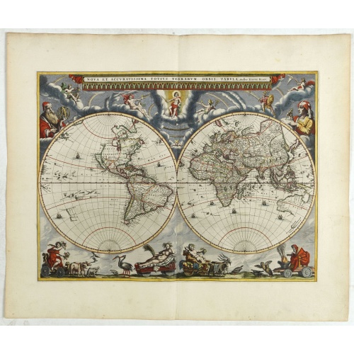
Nova et Accuratissima Totius Terrarum Orbis Tabula.
From his atlas Major.
$17.500
Maker : BLAEU, J.
Place : Amsterdam
Date : 1662
Postage & Shipping
-
Item Location
Terms and conditions - Item Location
- 75013, Ile-de-France, France
- Ships To
- United States, United Kingdom, Albania, Argentina, Armenia, Australia, Azerbaijan, Bahamas, Belgium, Bermuda, Cambodia, Canada, Chile, China, Croatia, Cyprus, Czech Republic, Denmark, Estonia, Finland, France, Germany, Gibraltar, Greece, Greenland, Guatemala, Hong Kong, Iceland, India, Indonesia, Israel, Italy, Japan, Latvia, Lithuania, Luxembourg, Malta, Mexico, Monaco, Netherlands, Norway, Singapore, Spain, Sweden, Switzerland, Turkey
- Pick-ups
- No pick-ups
This item is owned and offered by the seller Paulus_Swaen_Old_Maps - All items are available for immediate sale, offered subject to prior sale.
Invoices are created by the seller by using our shopping cart or be prepared by the seller the day following the order and are emailed to you.
Items offeres by different sellers are invoiced separately.
Shipping fees are extra. The buyer is responsible for all applicable taxes, including any VAT, customs clearance, import duties, or equivalent costs arriving at the customer's home border. Payment is due on receipt of the invoice. The item(s) are shipped as soon as possible after receipt of your payment.
Before buying please read the complete Terms Conditions of Sale.
- Payment Methods
- Visa, Mastercard, Bank Transfer, American Express, iDEAL, PayPal, Google Pay
- Returns Accepted
- No
Post Message
Feel free to ask the seller a question. Please note that the seller could be located in an area with a different time zone. Our seller will do their best to respond within 24 hours.Post your message below.
Sign in to ask the seller a question.

