ID: 469
Open
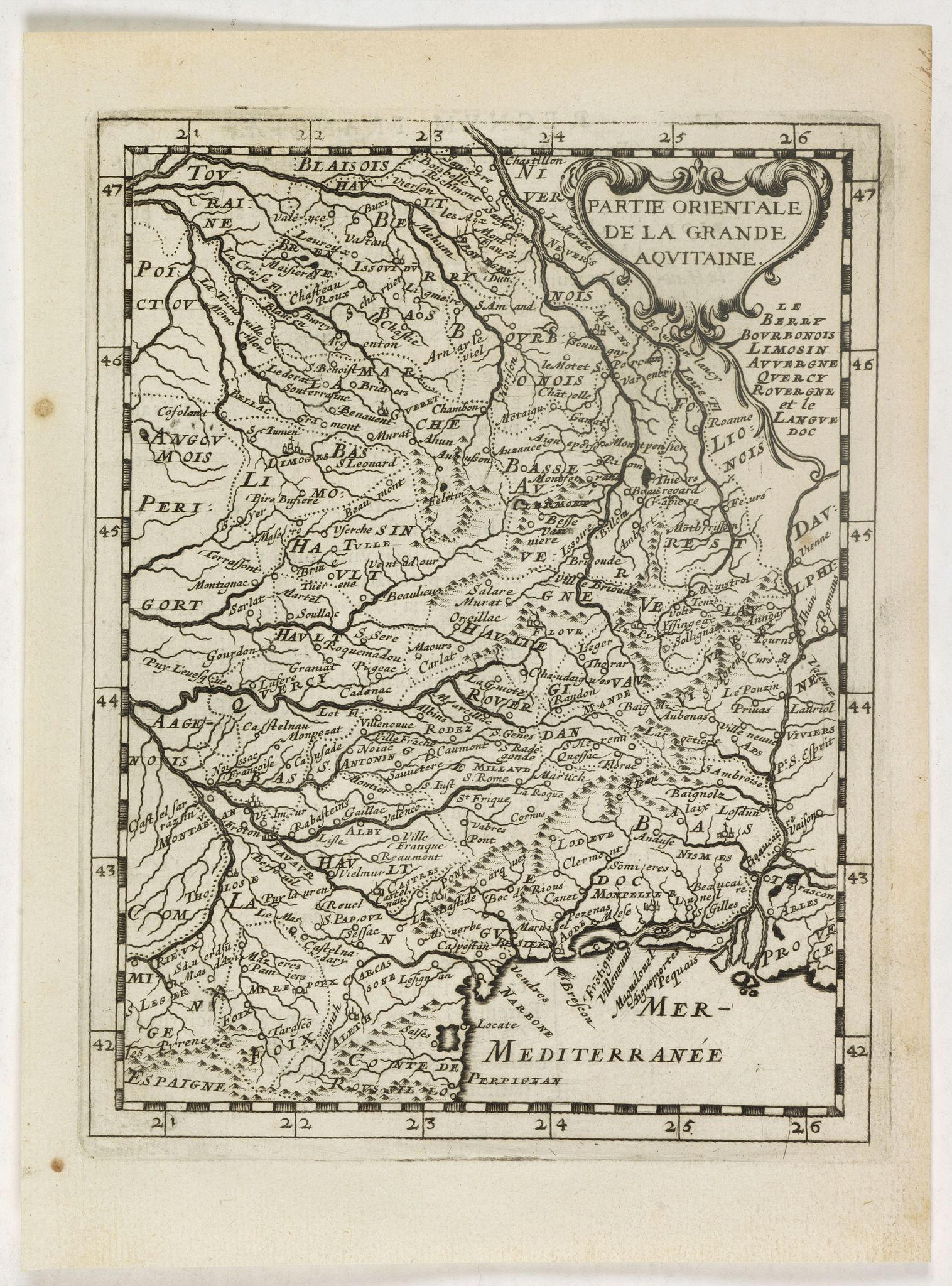
La partie orientale de la Grande Aquitaine.
BuyNow for €50
- Maker :
- BRIET, Ph.
- Place :
- Paris
- Date :
- 1649
- Color :
- Uncoloured
- Height mm.:
- 190
- Width mm.:
- 145
- Condition :
- A good and dark impression.
- Bibliography :
- -
- Seller's ref. :
- 39635
This item is offered by Librairie_Loeb-Larocque
See other Items from this seller- Postage
-
France
€15 to France
- Select Country
- Zip/Post Code
- Quantity
€50
Description
Map taken from "Geographique Theater de l'Europe …, a rare work by the Jesuit priest Briet.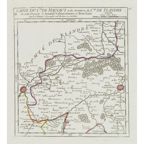
III. Carte du C.té de Haynaut et des Frontieres du C.té de Flandre..
Attractive small map encompassing part of the Nord, between Douai and Valenciennes.From Atlas Portatif Universel, by Robert de Vaugondy.Unrecorded state with erased date. Page 14c outside border top right. Mary Sponberg Pedley does not mention a state without date.
€50
Maker : VAUGONDY, R. de
Place : Paris
Date : after 1748
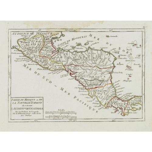
Partie du Mexique ou de la Nouvelle Espagne Où se trouve l'Audience de Guatimala.
Nice small map of Central America, extending from the Yucatán Peninsula to Panama. From Atlas Portatif Universel, by Robert de Vaugondy.From Atlas Portatif Universel, by Robert de Vaugondy.Page 89 outside border top right. Mary Sponberg Pedley does not mention a state with this number.
€50
Maker : VAUGONDY, R. de
Place : Paris
Date : later than 1749
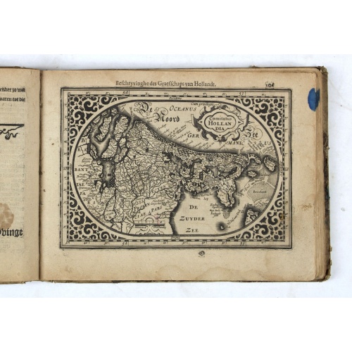
Nieuw Nederlandtsch Caertboeck. Waer in volkomentlijcker als oyt te voren vertoont werden de XVII. Nederlanden.
Rare first edition of this atlas of the provinces of the Netherlands, Belgium and Luxemburg. Engraved title page, with : "Gedruckt t' Amsterdam by Abraham Goos Plaetsnyder wonende op den Dam in 't vergulde Caertboeck.Our atlas is conform to the copy described in Koeman/Krogt : "One copy is known of the B-edition without text (Brussel KB IV). All maps in this copy are in the second variant".A. Goos published on his own a single atlas, the " Nieuw Nederlandtsch Caertboeck" with 23 maps. He receive...
$3.000
Maker : GOOS, A.
Place : Amsterdam
Date : 1616
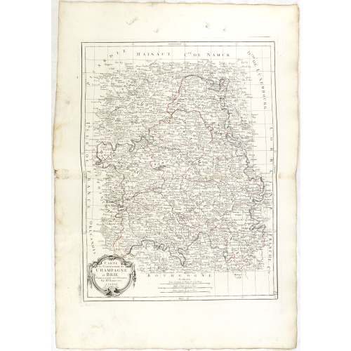
Gouvernements de Champagne et Brie.
Detailed map encompassing Champagne and Brie.Venetian edition of the map by Bonne, to whom Santini gives credit in the cartouche.From "Atlas Universel" published by Santini in 1776-84. The atlas is effectively an Italian copy of the Robert de Vaugondy 'Atlas Universel'.In 1784 Santini sold the plates to M. Remondini, whose name appears on this particular example.
€75
Maker : SANTINI, P. / REMONDINI, M.
Place : Venice
Date : 1776 - 1784
Postage & Shipping
-
Item Location
Terms and conditions - Item Location
- 75013, Ile-de-France, France
- Ships To
- United States, United Kingdom, Albania, Argentina, Armenia, Australia, Austria, Bahamas, Belgium, Bermuda, Bosnia and Herzegowina, Brazil, Bulgaria, Canada, Chile, China, Costa Rica, Denmark, Dominica, Egypt, El Salvador, Finland, France, Germany, Greece, Guatemala, Hong Kong, Hungary, Iceland, India, Italy, Japan, Korea (South), Kuwait, Liechtenstein, Lithuania, Luxembourg, Madagascar, Mexico, Monaco, Morocco, Netherlands, Netherlands Antilles, New Zealand, Norway, Paraguay, Peru, Philippines, Poland, Portugal, Qatar, Reunion, Romania, San Marino, Saudi Arabia, Seychelles, Singapore, Slovenia, South Africa, Spain, Sri Lanka, Suriname, Sweden, Switzerland, Taiwan, Thailand, Tunisia, Turkey, United Arab Emirates, Uruguay, Vietnam
- Pick-ups
- Buyer can pick-up
This item is owned and offered by the seller Librairie_Loeb-Larocque - All items are available for immediate sale, offered subject to prior sale.
Invoices are created by the seller by using our shopping cart or be prepared by the seller the day following the order and are emailed to you.
Items offeres by different sellers are invoiced separately.
Shipping fees are extra. The buyer is responsible for all applicable taxes, including any VAT, customs clearance, import duties, or equivalent costs arriving at the customer's home border. Payment is due on receipt of the invoice. The item(s) are shipped as soon as possible after receipt of your payment.
Before buying please read the complete Terms Conditions of Sale.
- Payment Methods
- Visa, Mastercard, Bank Transfer, American Express, PayPal, Google Pay
- Returns Accepted
- No
Post Message
Feel free to ask the seller a question. Please note that the seller could be located in an area with a different time zone. Our seller will do their best to respond within 24 hours.Post your message below.
Sign in to ask the seller a question.