ID: 323
Open
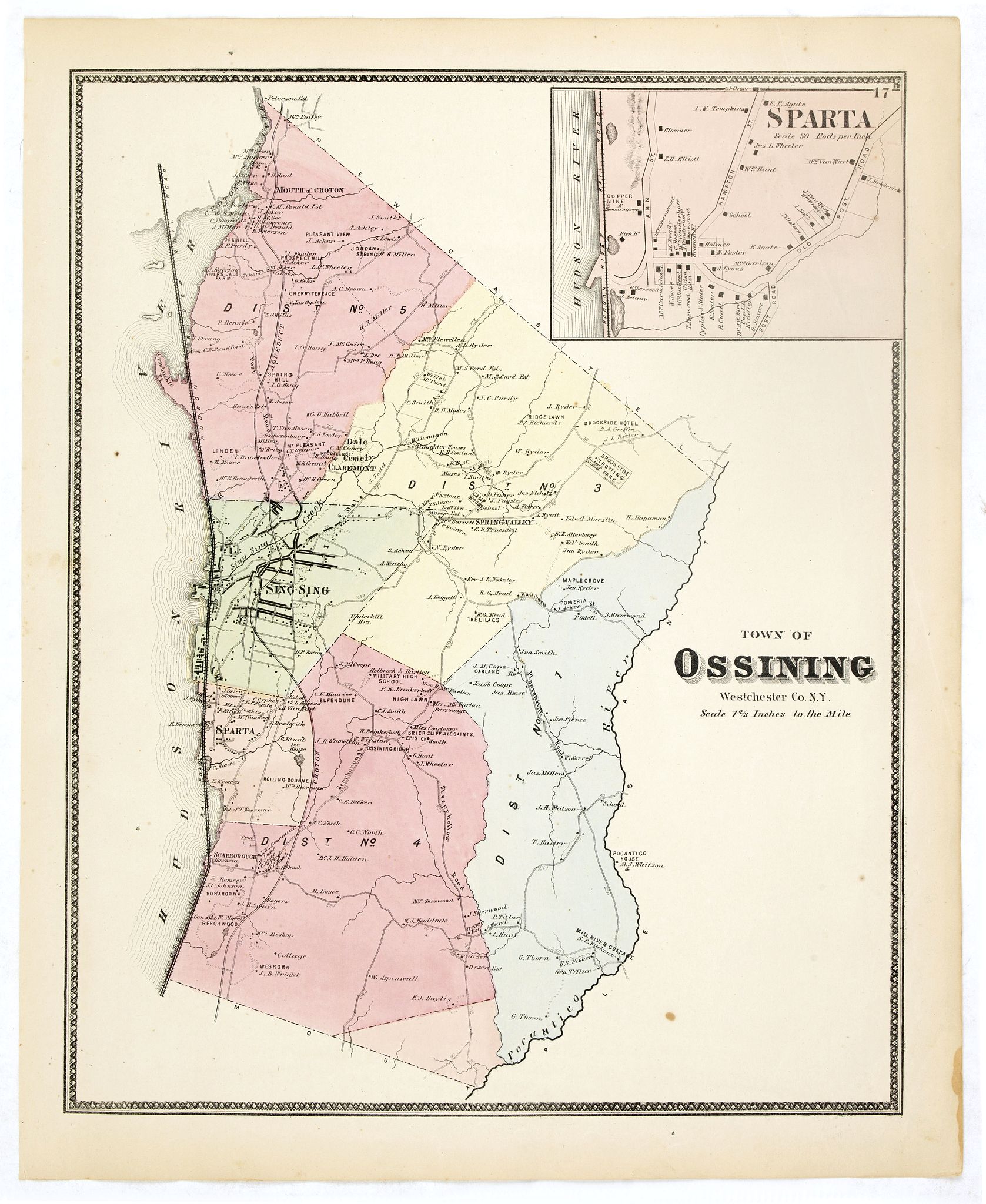
Town of Ossining. Westchester Co. NY.
BuyNow for $90
- Maker :
- DE BEERS, F.W.
- Place :
- New York
- Date :
- 1867
- Color :
- Original colors
- Height mm.:
- 405
- Width mm.:
- 323
- Condition :
- Folding map on onion skin paper. Some very light spotting but generally in very good to mint condition.
- Bibliography :
- Barbara B. McCorkle 'The Strange Case of F.W. Beers and The Atlas of New York and Vicinity' in Meridian 5, pp.39-43. cf. Phillips 2290; cf. Rumsey 4631. Ristow, American Maps and Mapmakers, chapter 25.
- Seller's ref. :
- 37651
This item is offered by Paulus_Swaen_Old_Maps
See other Items from this seller- Postage
-
Europe
$34 to France
- Select Country
- Zip/Post Code
- Quantity
$90
Description
Fine lithographed map of the town of Ossining. The map provides the names of specific homeowners, as well as information about the occupations and physical locations of the various tradesmen in each village from Beer's famous county atlas "Atlas of New York and vicinity, a documentary record of nineteenth-century life and delightful specimens of American folk art."F. W. Beers, along with other members of his family, were among the leading county atlas publishers in the period immediately following the Civil War. Their atlases provide "a detailed cartographical, biographical, and pictorial record of a large segment of rural America in the Victorian age" (Ristow).
Beers first published his Atlas of New York & Vicinity in 1867. McCorkle and others have observed that various issues of the atlas were published in that year and the following with significant differences in the number and selection of maps included by the publisher. This was the result of clever marketing by Beers, intending to sell the atlases to customers in specific regions.
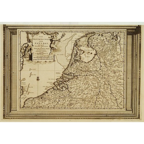
Les Provinces Unies des Pays Bas, suivant les nouvelles observations. . .
With decorative title cartouche upper left corner.This example is unusual in having the additional separately engraved decorative framework border around the map, the resultant visual effect being particularly striking. The frame border was prepared with a blank center so that the map could be over-printed on that area.These separately engraved border frames appear much more uncommon than the standard edition without border frames. From Le Nouveau Theatre du Monde, ou la Geographie Royale.
$250
Maker : AA, P. van der
Place : Amsterdam
Date : 1728
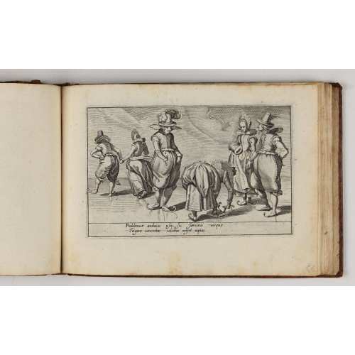
Deliciae Batavicae.
It is a charming book illustrated with portraits of Willem of Orange and Prince Maurits and eight engraved armorial plates. Followed by thirthy engraved views or scenes of Dutch cities, most with Latin text at the foot.The plates include views of Amsterdam, Leiden, a skating scene, and Prince Maurits sailing wagon. The Anatomy Theatre of the University of Leiden with a finely attired man looking at the dissected body of a man lying on the central table, surrounded by concentric benches with hum...
$5.000
Maker : MARCUS, J.
Place : Amsterdam, Johannes Janssonius
Date : 1618
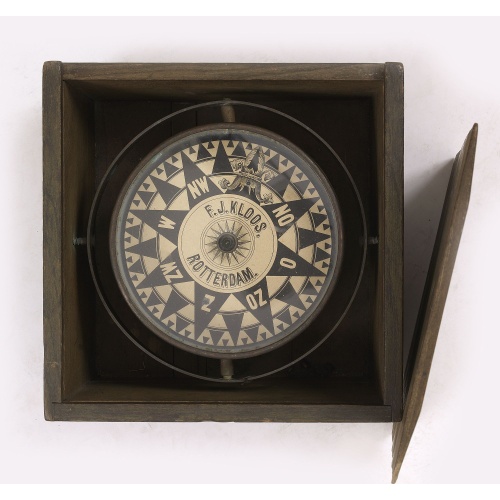
Compass.
A very nicely crafted sloop compass in original box. The compass is gimbaled and is executed in beautiful red copper. Made and signed by F.J. Kloos & Son of Rotterdam in the 1850-1875 period. The compass works fine. Height of the box: 13.5 cm (5.5 inches)
$2.250
Maker : KLOOS, F.J.
Place : Rotterdam
Date : 1850-1875
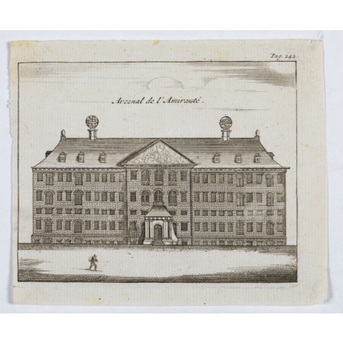
Arcenal de l'Amirauté.
A decorative print of the 'T Landts Magazyn , or 'Scheepvaart Museum' (Naval Museum).
$80
Maker : ANONYMOUS
Place : Amsterdam
Date : ca. 1700
Postage & Shipping
-
Item Location
Terms and conditions - Item Location
- 75013, Ile-de-France, France
- Ships To
- United States, United Kingdom, Albania, Argentina, Armenia, Australia, Azerbaijan, Bahamas, Belgium, Bermuda, Cambodia, Canada, Chile, China, Croatia, Cyprus, Czech Republic, Denmark, Estonia, Finland, France, Germany, Gibraltar, Greece, Greenland, Guatemala, Hong Kong, Iceland, India, Indonesia, Israel, Italy, Japan, Latvia, Lithuania, Luxembourg, Malta, Mexico, Monaco, Netherlands, Norway, Singapore, Spain, Sweden, Switzerland, Turkey
- Pick-ups
- No pick-ups
This item is owned and offered by the seller Paulus_Swaen_Old_Maps - All items are available for immediate sale, offered subject to prior sale.
Invoices are created by the seller by using our shopping cart or be prepared by the seller the day following the order and are emailed to you.
Items offeres by different sellers are invoiced separately.
Shipping fees are extra. The buyer is responsible for all applicable taxes, including any VAT, customs clearance, import duties, or equivalent costs arriving at the customer's home border. Payment is due on receipt of the invoice. The item(s) are shipped as soon as possible after receipt of your payment.
Before buying please read the complete Terms Conditions of Sale.
- Payment Methods
- Visa, Mastercard, Bank Transfer, American Express, iDEAL, PayPal, Google Pay
- Returns Accepted
- No
Post Message
Feel free to ask the seller a question. Please note that the seller could be located in an area with a different time zone. Our seller will do their best to respond within 24 hours.Post your message below.
Sign in to ask the seller a question.