ID: 450
Open
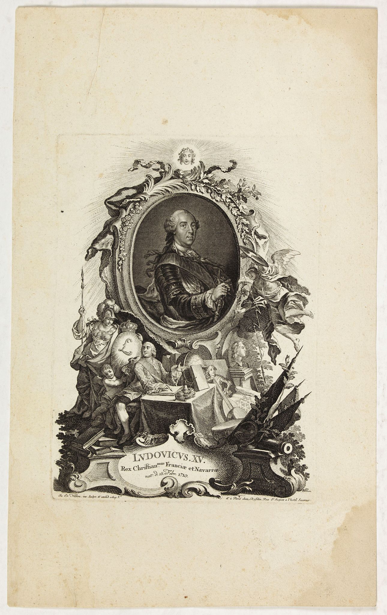
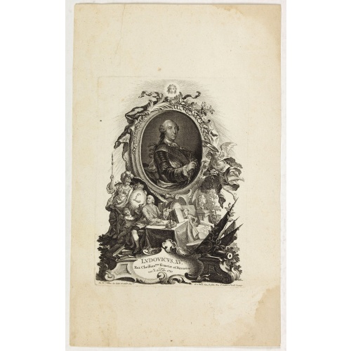
Ludovicus. XV rex chrisitan franciae et navarrae nat d:15. febr. 1710.
BuyNow for €50
- Maker :
- NILSON, J.E.
- Place :
- Augsburg, Paris
- Date :
- 1710
- Color :
- Uncoloured
- Height mm.:
- 215
- Width mm.:
- 155
- Condition :
- In good condition. Good margins.
- Bibliography :
- -
- Seller's ref. :
- 43494
This item is offered by Librairie_Loeb-Larocque
See other Items from this seller- Postage
-
France
€15 to France
- Select Country
- Zip/Post Code
- Quantity
€50
Description
Portrait of Ludovicus XV, set in a decorative border.In lower part "Jo. Es. Nilson, inv et excutiv Aug V. et à Paris chez Rosselin Rue St. Jaques a l'Autel Saumur".
Prepared by Johann Esaias Nilson (1721-88), 'the German Watteau'. Nilson was part of a family of artists and established himself as the leading Augsburg artist of his day, whose influence extended across publishing, art academies, a role as court painter, and the decorative arts (especially ceramics).
Louis XV, known as Louis the Beloved, was a monarch of the House of Bourbon who ruled as King of France from 1 September 1715 until his death in 1774. He succeeded his great-grandfather Louis XIV at the age of five.
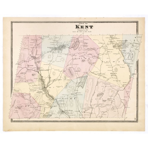
Town of Kent.
Fine lithographed map of the town of Kent. From :"Atlas of New York and vicinity" published by Beers, Ellis & Soule, 95 Maiden Lane, New York.The map provides the names of specific homeowners, as well as information about the occupations and physical locations of the various tradesmen in each village from Beer's famous county atlas "Atlas of New York and vicinity", a documentary record of nineteenth-century life and delightful specimens of American folk art.F. W. Beers, along with other members ...
€90
Maker : DE BEERS, F. W.
Place : New York
Date : 1867
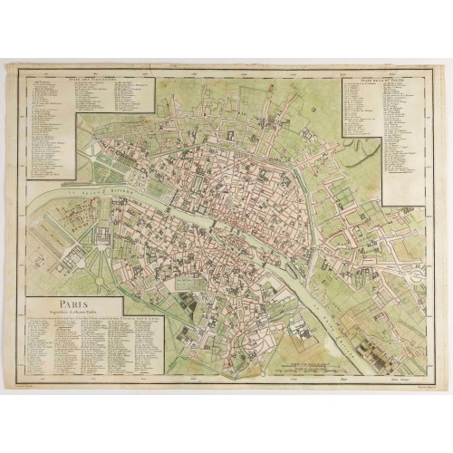
Paris Superficie 5,280,000 Toises.
FIRST EDITION of this finely engraved plan of Paris by P. F. Tardieu and prepared by DuBuisson. This detailed plan of Paris includes la Place Louis XV, la Bastille, but does not have the city walls. The first edition was included in " l'Atlas nouveau" of E. Mentelle. The second state (after 1792) has the text "Plan routier de la ville de Paris…", in the righthand lettered key, added.
€600
Maker : TARDIEU, P. F.
Place : Paris
Date : 1779-1782
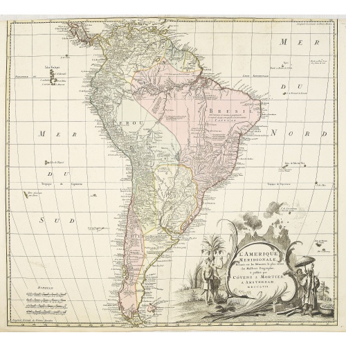
L'amerique meridionale dressee sur les memoires le plus recens. . .
Rare and decorative map of South America with good detail and interesting notations concerning the explorations of the interior. With in the lower right corner a title cartouche flanked by natives with a background of erupting volcanoes.The Amsterdam publishing firm of Covens and Mortier (1721 - c. 1862) was the successor to the extensive publishing empire built by Frenchman Pierre Mortier (1661 - 1711). Upon Mortier's death in 1711 his firm was taken over by his son, Cornelius Mortier (1699 -...
€550
Maker : COVENS, J. / MORTIER, C.
Place : Amsterdam
Date : 1757
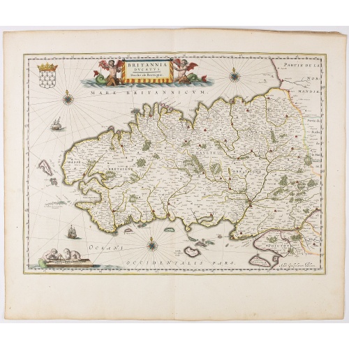
Britannia Ducatus. Duché de Bretaigne.
Map of Bretagne in France. From early on Willem Jansz. Blaeu aimed of publishing an atlas to compete with the Hondius-Jansson Atlas. By 1630, he had published at least 17 folio size maps. Blaeu was able to realize his plan soon after he had acquired the copper plates of the atlas maps by Jodocus Hondius. The "Appendix followed in 1630.In 1635 he finally realized a "international edition" of a world atlas, the "Theatrum Orbis Terrarum".
€650
Maker : BLAEU, W.
Place : Amsterdam
Date : 1644
Postage & Shipping
-
Item Location
Terms and conditions - Item Location
- 75013, Ile-de-France, France
- Ships To
- United States, United Kingdom, Albania, Argentina, Armenia, Australia, Austria, Bahamas, Belgium, Bermuda, Bosnia and Herzegowina, Brazil, Bulgaria, Canada, Chile, China, Costa Rica, Denmark, Dominica, Egypt, El Salvador, Finland, France, Germany, Greece, Guatemala, Hong Kong, Hungary, Iceland, India, Italy, Japan, Korea (South), Kuwait, Liechtenstein, Lithuania, Luxembourg, Madagascar, Mexico, Monaco, Morocco, Netherlands, Netherlands Antilles, New Zealand, Norway, Paraguay, Peru, Philippines, Poland, Portugal, Qatar, Reunion, Romania, San Marino, Saudi Arabia, Seychelles, Singapore, Slovenia, South Africa, Spain, Sri Lanka, Suriname, Sweden, Switzerland, Taiwan, Thailand, Tunisia, Turkey, United Arab Emirates, Uruguay, Vietnam
- Pick-ups
- Buyer can pick-up
This item is owned and offered by the seller Librairie_Loeb-Larocque - All items are available for immediate sale, offered subject to prior sale.
Invoices are created by the seller by using our shopping cart or be prepared by the seller the day following the order and are emailed to you.
Items offeres by different sellers are invoiced separately.
Shipping fees are extra. The buyer is responsible for all applicable taxes, including any VAT, customs clearance, import duties, or equivalent costs arriving at the customer's home border. Payment is due on receipt of the invoice. The item(s) are shipped as soon as possible after receipt of your payment.
Before buying please read the complete Terms Conditions of Sale.
- Payment Methods
- Mastercard, Bank Transfer, Direct Debit, American Express, iDEAL, PayPal, Google Pay
- Returns Accepted
- No
Post Message
Feel free to ask the seller a question. Please note that the seller could be located in an area with a different time zone. Our seller will do their best to respond within 24 hours.Post your message below.
Sign in to ask the seller a question.