ID: 473
Open
Listing ID: #473 has been added to your wishlist.
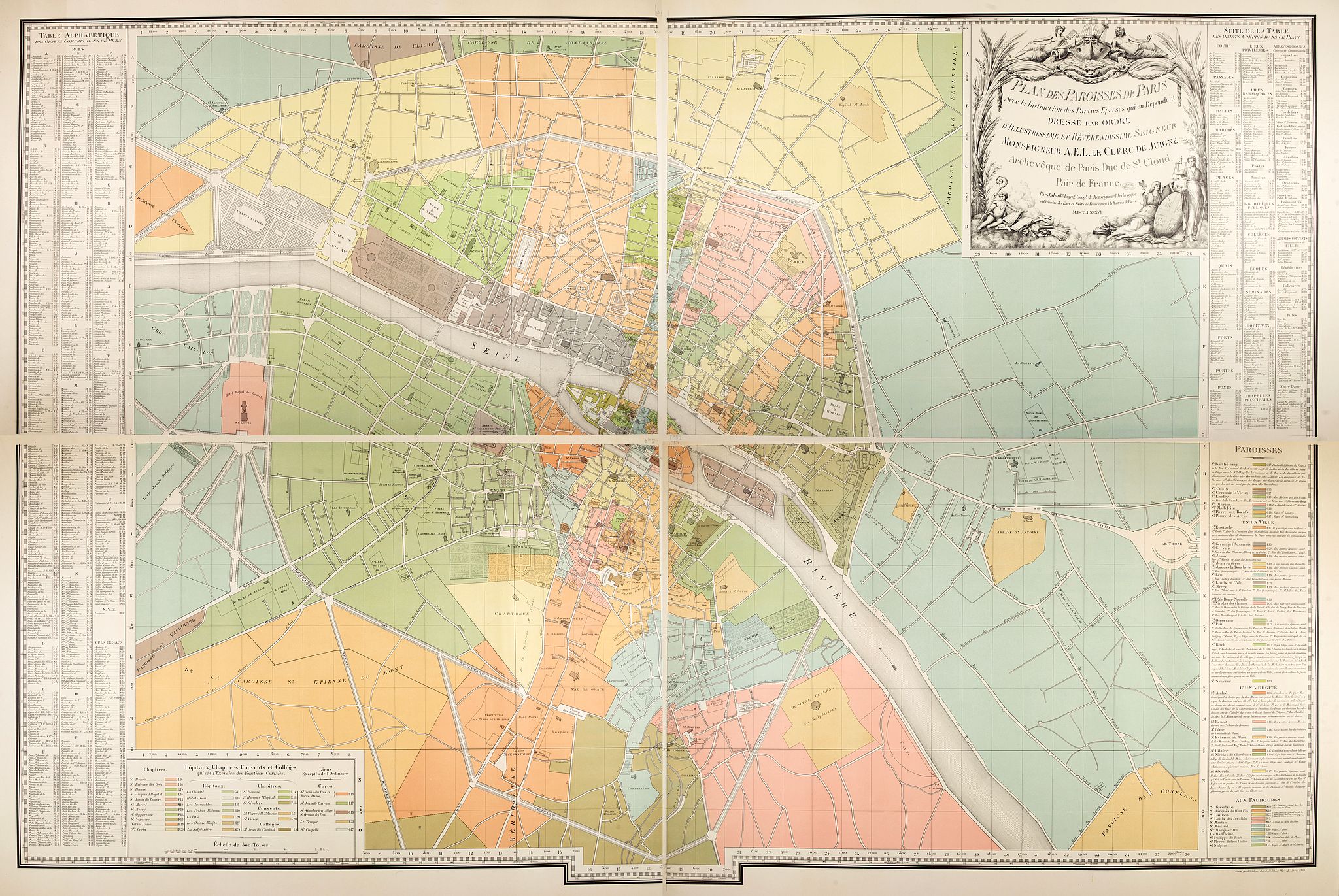
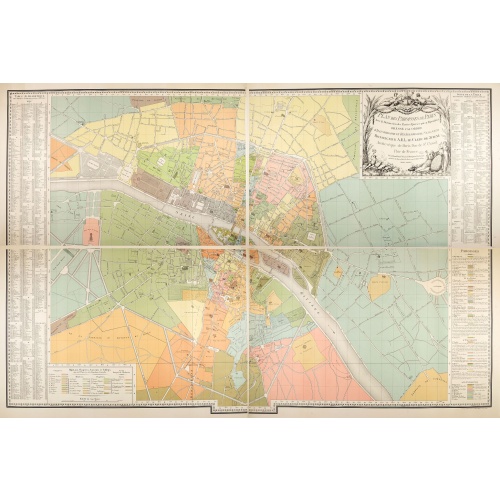
Plan des paroisses de Paris avec la distinction des parties éparses qui en dépendent dressé... par J. Junié, Ingén. Géogr. De Monseigneur l'Archeveque et géomètre des Eaux et forêts de ...
BuyNow for €750
- Maker :
- JUNIÉ, J.
- Place :
- Service des Travaux historiques de la Ville de Paris
- Date :
- 1904
- Color :
- Printed colors
- Height mm.:
- 1230
- Width mm.:
- 1850
- Condition :
- Color printed plan in 4 sheets. I joined 123 x 185cm. With a publisher's green tube with a label.
- Bibliography :
- -
- Seller's ref. :
- 47448
This item is offered by Librairie_Loeb-Larocque
See other Items from this seller- Postage
-
France
€15 to France
- Select Country
- Zip/Post Code
- Quantity
€750
Description
Large wall map size plan of Paris in 4 separate sheets, if joined forming a plan of Paris of 93 x 60cm.
This plan is a 1904 version of a manuscript plan drawn in 1786 by Junié for A.-L. Le Clerc de Juigné.
Published by Service des Travaux historiques de la Ville de Paris. To the left and right, a lettered key with a list of parishes with their boundaries and legends.
Top right, title in an ornate cartouche: two women, symbolizing piety and justice, around the arms of LeClerc de Juigné (1728-1811), Archbishop of Paris from 1781 until the Revolution. Keys on either side of the plan.
The reasons for making this plan of the parishes of Pariss are currently unknown. Its author, Jean Junié was born in Paris, Saint-Eustache parish, on August 20, 1756, he practiced the professions of Water and Forests surveyor and feudist. At an unknown date, he helped the geographic engineer Rittmann who has, among other things, since the 1760s, been in charge of a cartographic survey at the archbishopric in Paris; together they completed the work in 1786, the very year of the creation of the parish plan.
At the start of the Revolution, Junié exercised the profession of lawyer and lived at 138 rue Mouffetard. His activity as a cartographer is no longer mentioned, while his political and administrative career is asserting itself.
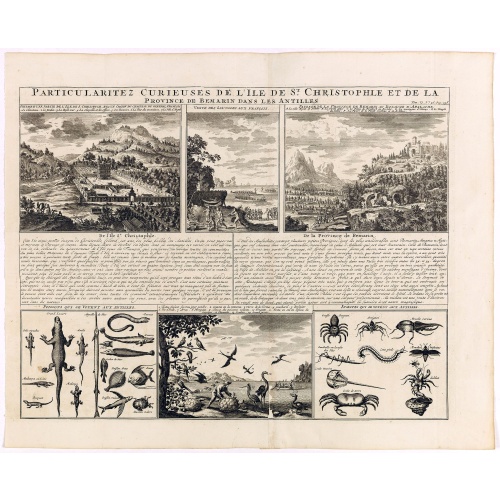
Particularitez Curieuses de l'Ile de St. Christophle et de la Province de Bemarin . . .
Six meticulously detailed and engraved scenes of the island of St. Kitts, also known as Saint Christopher, and the province of Bemarin, indigenous plants, animals, reptiles, fish, crustaceans and insects.On a single sheet from Volume Six of Chatelain's "Atlas Historique".From left to right, top, the illustrations depict the French General's palace on St. Kitts, Indians visiting the French, and a landscape in Bemarin Province. Zacharie Chatelain (d.1723) was the father of Henri Abraham (1684-1743...
€95
Maker : CHATELAIN, H.
Place : Amsterdam
Date : 1720
![[Spilbergen's fleet visits the island of Santa Maria] / [The Dutch visit Isla Mocha].](/uploads/cache/41090-500x500.jpg)
[Spilbergen's fleet visits the island of Santa Maria] / [The Dutch visit Isla Mocha].
Two engravings. [514] On 29th May, 1615, Spilbergen’s fleet anchored further north, off an island called Santa María that was separated by a narrow stretch of water (A), from Punta Lavapié on the mainland. Four of the ships (I) anchored in the bay, while the fifth (H) anchored closer. The Dutch went ashore in small boats (F), where they saw Spanish soldiers on horseback (B), so they arranged themselves for battle (C). There were several confrontations (E), during which many Dutchmen died but...
€80
Maker : GOTTFRIED, J.L. / DE BRY.
Place : Frankfurt, M.Merian
Date : 1633
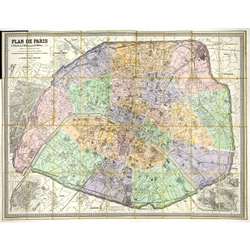
Plan de Paris A l'Echelle de 2 Millim. pour 2.5 Metres . . . Indiquant les Nouveaux percements et les changements de mons de Voies publiques Avec Plans Supplmentaries Pour Les Bois De Boulogne et De Vicennes . . .
Magnificent map of the urban redevelopments planned for Paris at the end of the 19th century. The map has been updated, with insets showing supplemental plans for the Bois de Boulogne and Vicennes neighborhoods.
€600
Maker : ANDRIVEAU-GOUJON, E.
Place : Paris
Date : 1878
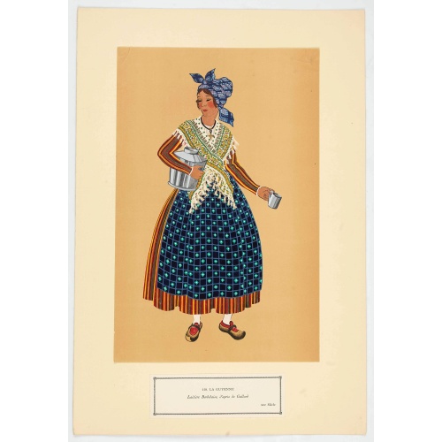
Laitière Bordelaise, d'après de Gallard (110, La Guyenne).
Plate published in "Les costumes régionaux de France" with illustrations by Gratiane de Gardilanne (painter and designer) and Elisabeth Whitney Moffat.Costume plate printed in collotype, pochoir and retouched by hand. Dimension of 24.5 x 38cm. The originals were donated by an American patron to the Metropolitan Museum of Art in New York and constitute a set of 200 plates. Good condition.
€75
Maker : GARDILANNE (G.de) et MOFFAT (E.W.)
Place : Paris, Editions du Pégase
Date : 1929
Postage & Shipping
-
Item Location
Terms and conditions - Item Location
- 75013, Ile-de-France, France
- Ships To
- United States, United Kingdom, Albania, Argentina, Armenia, Australia, Austria, Bahamas, Belgium, Bermuda, Bosnia and Herzegowina, Brazil, Bulgaria, Canada, Chile, China, Costa Rica, Denmark, Dominica, Egypt, El Salvador, Finland, France, Germany, Greece, Guatemala, Hong Kong, Hungary, Iceland, India, Italy, Japan, Korea (South), Kuwait, Liechtenstein, Lithuania, Luxembourg, Madagascar, Mexico, Monaco, Morocco, Netherlands, Netherlands Antilles, New Zealand, Norway, Paraguay, Peru, Philippines, Poland, Portugal, Qatar, Reunion, Romania, San Marino, Saudi Arabia, Seychelles, Singapore, Slovenia, South Africa, Spain, Sri Lanka, Suriname, Sweden, Switzerland, Taiwan, Thailand, Tunisia, Turkey, United Arab Emirates, Uruguay, Vietnam
- Pick-ups
- Buyer can pick-up
This item is owned and offered by the seller Librairie_Loeb-Larocque - All items are available for immediate sale, offered subject to prior sale.
Invoices are created by the seller by using our shopping cart or be prepared by the seller the day following the order and are emailed to you.
Items offeres by different sellers are invoiced separately.
Shipping fees are extra. The buyer is responsible for all applicable taxes, including any VAT, customs clearance, import duties, or equivalent costs arriving at the customer's home border. Payment is due on receipt of the invoice. The item(s) are shipped as soon as possible after receipt of your payment.
Before buying please read the complete Terms Conditions of Sale.
- Payment Methods
- Visa, Mastercard, Bank Transfer, Direct Debit, American Express, iDEAL, PayPal, Google Pay
- Returns Accepted
- No
Post Message
Feel free to ask the seller a question. Please note that the seller could be located in an area with a different time zone. Our seller will do their best to respond within 24 hours.Post your message below.
Sign in to ask the seller a question.