ID: 434
Open
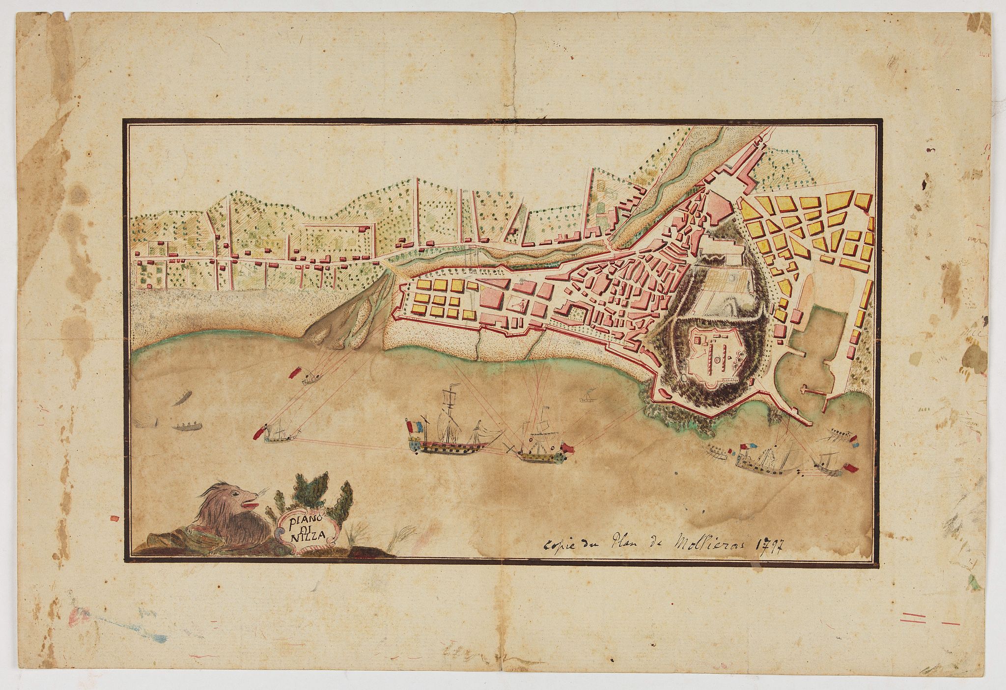
Piano di Nizza.
BuyNow for €900
- Maker :
- ANONYMOUS
- Place :
- Italy
- Date :
- after 1797
- Color :
- In original color
- Height mm.:
- 182
- Width mm.:
- 310
- Condition :
- Manuscript in brown ink and gouache. Margins a little scruffy, Map good.
- Bibliography :
- -
- Seller's ref. :
- 47888
This item is offered by Librairie_Loeb-Larocque
See other Items from this seller- Postage
-
France
€15 to France
- Select Country
- Zip/Post Code
- Quantity
€900
Description
Rare 1797 manuscript map of Nice, with the French navy attacking from the sea. Unknown author, Italian, but map attributed to an original, probably broadsheet map by Mollieras (?). Good plan of the layout of Nice and the port and coast as was in 1797. Ships are perhaps a trifle naive. This attack is not covered by any other antique maps or prints.The sheet is watermarked with the initials JH & Z, for Jan Honig and Zoonen, a firm of papermakers operating in Zaandijk, north of Amsterdam operating during the eighteenth century.

Die Vereinigten Staaten von Nord Amerika..
Uncommon map of the east coast of North America, including the Great Lakes area. To the right inset map of New Foundland. After the map by William Faden of 1783. With color-key.
€500
Maker : MARIANUS, J.
Place : Germany, 1790
Date : 1790
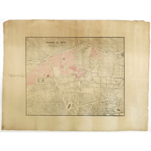
Quartier de Tivoli Nouveaux pereements de Rues.
Plan of the center of Paris showing Tivoli district with Madalene and Clichy. Lithography and pen and ink. Drawn in are the planned workshop of Serrurerie Théophile Mignon, 30 rue de la Bienfaisance.
€75
Maker : ANNONYMOUS
Place : Paris
Date : ca.1835
![(Chatelain "Atlas Historique" in 7 volumes.]](/uploads/cache/47053X-500x500.jpg)
(Chatelain "Atlas Historique" in 7 volumes.]
Henri Abraham Chatelain, whose Atlas Historique was one of the most expansive encyclopedias of the age. First published in 1705, Chatelain's Atlas Historique was part of an immense seven-volume encyclopedia. Although the main focus of the text was geography, the work also included a wealth of historical, political, and genealogical information. The text was compiled by Nicholas Gueudeville and Garillon with a supplement by H.P. de Limiers and the maps were engraved by Chatelain, primarily after...
€40.000
Maker : CHATELAIN, H.
Place : Amsterdam: Chez Zacharie Châtelain
Date : 1732 - 1739
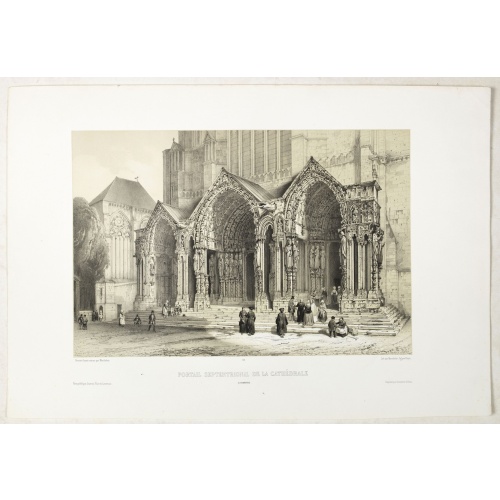
PORTAIL SEPTENTRIONAL DE LA CATHÉDRALE A CHARTRES. Dessiné d'après nature par Monthelier. Lith. par Monthelier.fig. par Bayot.
Original lithograph of the northern portal of Chartres cathedral. Lithographed by Jules Monthelier (1801-1883) and Adolphe-Jean-Baptist Bayot (Alessandria 1810 - 1866) after a design by Chapuy and printed in Paris by Lemercier, Bernard Cie.
€75
Maker : CHAPUY
Place : Paris
Date : 1844
Postage & Shipping
-
Item Location
Terms and conditions - Item Location
- 75013, Ile-de-France, France
- Ships To
- United States, United Kingdom, Albania, Argentina, Armenia, Australia, Austria, Bahamas, Belgium, Bermuda, Bosnia and Herzegowina, Brazil, Bulgaria, Canada, Chile, China, Costa Rica, Denmark, Dominica, Egypt, El Salvador, Finland, France, Germany, Greece, Guatemala, Hong Kong, Hungary, Iceland, India, Italy, Japan, Korea (South), Kuwait, Liechtenstein, Lithuania, Luxembourg, Madagascar, Mexico, Monaco, Morocco, Netherlands, Netherlands Antilles, New Zealand, Norway, Paraguay, Peru, Philippines, Poland, Portugal, Qatar, Reunion, Romania, San Marino, Saudi Arabia, Seychelles, Singapore, Slovenia, South Africa, Spain, Sri Lanka, Suriname, Sweden, Switzerland, Taiwan, Thailand, Tunisia, Turkey, United Arab Emirates, Uruguay, Vietnam
- Pick-ups
- Buyer can pick-up
This item is owned and offered by the seller Librairie_Loeb-Larocque - All items are available for immediate sale, offered subject to prior sale.
Invoices are created by the seller by using our shopping cart or be prepared by the seller the day following the order and are emailed to you.
Items offeres by different sellers are invoiced separately.
Shipping fees are extra. The buyer is responsible for all applicable taxes, including any VAT, customs clearance, import duties, or equivalent costs arriving at the customer's home border. Payment is due on receipt of the invoice. The item(s) are shipped as soon as possible after receipt of your payment.
Before buying please read the complete Terms Conditions of Sale.
- Payment Methods
- Visa, Mastercard, Bank Transfer, American Express, iDEAL, PayPal, Google Pay
- Returns Accepted
- No
Post Message
Feel free to ask the seller a question. Please note that the seller could be located in an area with a different time zone. Our seller will do their best to respond within 24 hours.Post your message below.
Sign in to ask the seller a question.