ID: 373
Open
Listing ID: #373 has been added to your wishlist.
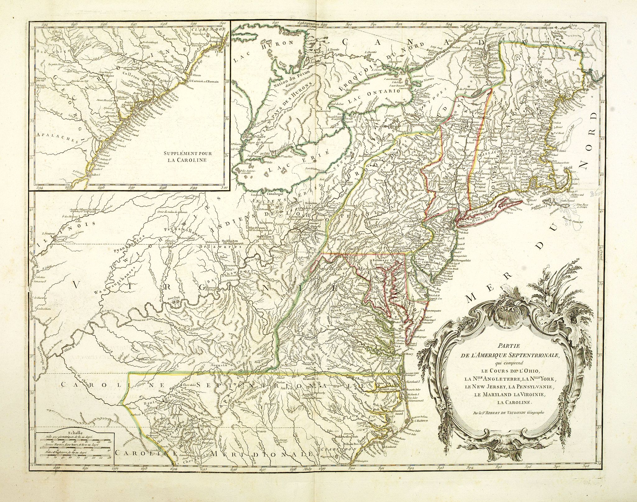
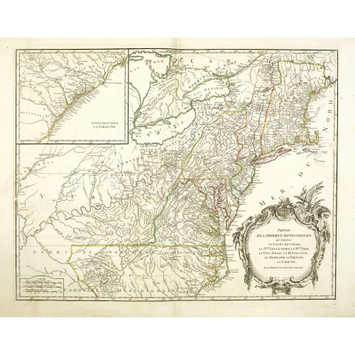
Partie De L'Amerique Septentrionale... Le Cours De L'Ohio, La N.lle Angleterre, a Nlle York, le New Jersey , La Pensyvanie, Le Maryland, Le Virginie, La Carolina...1755
BuyNow for €800
- Maker :
- DE VAUGONDY, R. de
- Place :
- Paris
- Date :
- 1768
- Color :
- In original outline colors
- Height mm.:
- 475
- Width mm.:
- 620
- Condition :
- Good and dark impression.
- Bibliography :
- Pedley, Bel et Utile, 469 (state 2).
- Seller's ref. :
- 32069
This item is offered by Librairie_Loeb-Larocque
See other Items from this seller- Postage
-
France
€15 to France
- Select Country
- Zip/Post Code
- Quantity
€800
Description
From the Atlas Universel , a detailed map extending the length of the east coast from Penobscot Bay to Cape Fear and, in an inset, from Cape Fear to Fort St.Georges.This state with a dotted border of Treaty of Paris, 1763, with Virginie and Caroline Sept. Et Merid. Extended west to Mississippi. New-Hemp-Shire" and Prov. De Sagadahock" now added.
The Atlas Universel of Gilles and Didier Robert de Vaugondy was first published in 1755. The maps were detailed, precisely engraved and not given to the fanciful cartography being promoted by many of the other contemporary French theorists. This map with the Privilege removed.
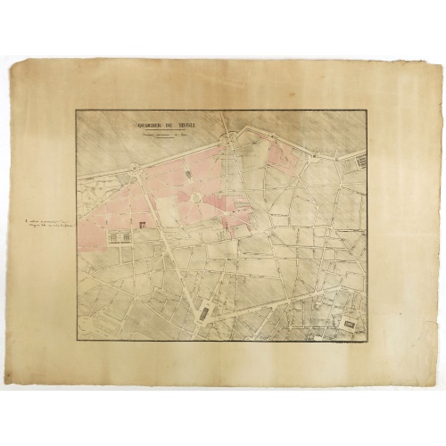
Quartier de Tivoli Nouveaux pereements de Rues.
Plan of the center of Paris showing Tivoli district with Madalene and Clichy. Lithography and pen and ink. Drawn in are the planned workshop of Serrurerie Théophile Mignon, 30 rue de la Bienfaisance.
€75
Maker : ANNONYMOUS
Place : Paris
Date : ca.1835
-500x500.jpg)
Chamberi.
A charming view of Chambery. Title in a curtain draped at top. French text on verso.From the original 1683 text edition of "Description d'Univers. . ." by Allain Manesson Mallet (1630-1706), a well travelled military engineer and geographer who worked in 17th century France under King Louis XIV.Published by Denys Thierry.
€50
Maker : MANESSON MALLET, A.
Place : Paris, 1683
Date : 1683
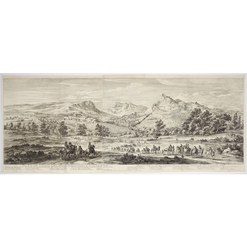
Veue de la ville, et fauxbourg de Salins…
Showing the town of Salins, a commune with salt works (Salines) in the Jura department in the region of Bourgogne-Franche-Comté in eastern France. With a key (1-15) in Latin and French to the most remarkable sights. Etching by A. F. Bauduins (Adrien François Baudouin) after Adam Frans van der Meulen (1632-1690) who was a Flemish Baroque painter specialising in battle scenes. He was active first in Brussels, where he was a pupil of Pieter Snayers, and from the 1660s onwards in Paris.His paint...
€700
Maker : MEULEN, Adam Frans van der.
Place : Paris
Date : 1680
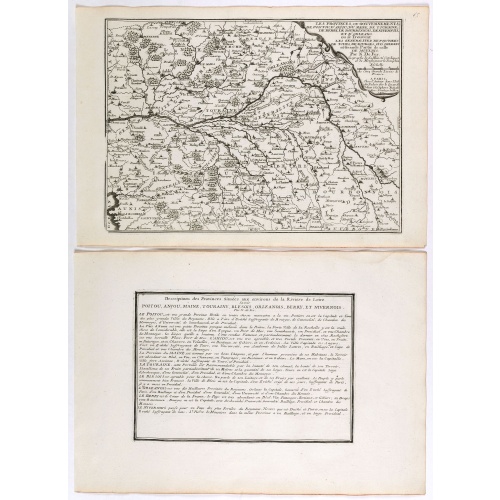
Les Provinces, ou Gouvernement de Poictou, d'Anjou, du Maine, De Touraine . . .
Map centered on Loire region, with Blois, Saumur, Sancerre and Orleans, from Nicolas de Fer's "L'Atlas curieux ou le Monde réprésente dans des cartes. "The "Atlas Curieux" is a geographic encyclopedia of images and a celebration of the French Empire under the Sun King, with maps of French possessions in the western hemisphere, maps of France, with detailed views of the grand waterworks at Marly, views of the great palaces and chateaux, views and plans of the Paris Observatory, and samples of m...
€80
Maker : DE FER, N.
Place : Paris
Date : 1705
Postage & Shipping
-
Item Location
Terms and conditions - Item Location
- 75013, Ile-de-France, France
- Ships To
- United States, United Kingdom, Albania, Argentina, Armenia, Australia, Austria, Bahamas, Belgium, Bermuda, Bosnia and Herzegowina, Brazil, Bulgaria, Canada, Chile, China, Costa Rica, Denmark, Dominica, Egypt, El Salvador, Finland, France, Germany, Greece, Guatemala, Hong Kong, Hungary, Iceland, India, Italy, Japan, Korea (South), Kuwait, Liechtenstein, Lithuania, Luxembourg, Madagascar, Mexico, Monaco, Morocco, Netherlands, Netherlands Antilles, New Zealand, Norway, Paraguay, Peru, Philippines, Poland, Portugal, Qatar, Reunion, Romania, San Marino, Saudi Arabia, Seychelles, Singapore, Slovenia, South Africa, Spain, Sri Lanka, Suriname, Sweden, Switzerland, Taiwan, Thailand, Tunisia, Turkey, United Arab Emirates, Uruguay, Vietnam
- Pick-ups
- No pick-ups
This item is owned and offered by the seller Librairie_Loeb-Larocque - All items are available for immediate sale, offered subject to prior sale.
Invoices are created by the seller by using our shopping cart or be prepared by the seller the day following the order and are emailed to you.
Items offeres by different sellers are invoiced separately.
Shipping fees are extra. The buyer is responsible for all applicable taxes, including any VAT, customs clearance, import duties, or equivalent costs arriving at the customer's home border. Payment is due on receipt of the invoice. The item(s) are shipped as soon as possible after receipt of your payment.
Before buying please read the complete Terms Conditions of Sale.
- Payment Methods
- Mastercard, Bank Transfer, American Express, iDEAL, PayPal, Google Pay
- Returns Accepted
- No
Post Message
Feel free to ask the seller a question. Please note that the seller could be located in an area with a different time zone. Our seller will do their best to respond within 24 hours.Post your message below.
Sign in to ask the seller a question.