ID: 484
Open
Listing ID: #484 has been added to your wishlist.
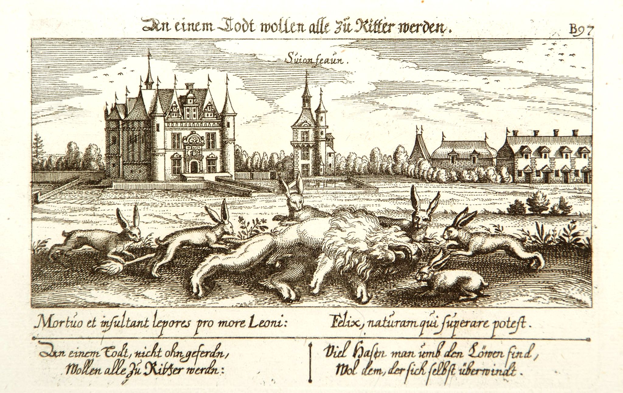
In einem Todt wollen alle zu Ritter werden.
BuyNow for €70
- Maker :
- MEISNER, D.
- Place :
- Frankfurt
- Date :
- 1623-1678
- Color :
- Uncoloured
- Height mm.:
- 100
- Width mm.:
- 145
- Condition :
- Copper engraving. A good and dark impression. Very good.
- Bibliography :
- Fauser, Repertorium Älter Topographie, 7920.
- Seller's ref. :
- 13734
This item is offered by Librairie_Loeb-Larocque
See other Items from this seller- Postage
-
France
€15 to France
- Select Country
- Zip/Post Code
- Quantity
€70
Description
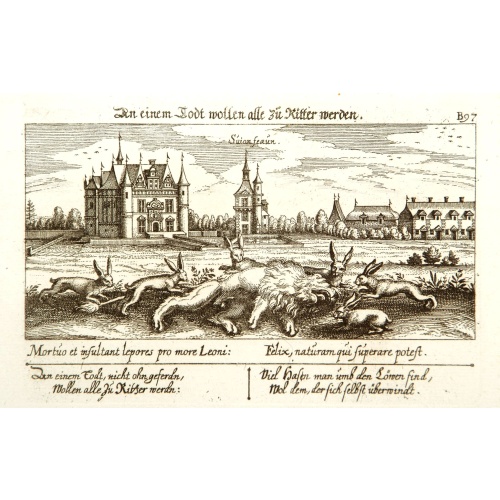
A very nice view of a dead lion, surrounded by rabbits and in the background a French castle. With a verse in two languages underneath the picture. "In einem Todt, nicht ohn geferdn, wollen alle zu Ritter werdn: Viel Hasen man umh den Löwen find, wol dem, der sich selbst überwindt."The poet and topographer from Comothau, Daniel Meisner (1585-1625), started his first publication entitled Thesaurus Philo-Politicus in Frankfurt in 1623, initially in parts, each one containing about fifty plans. The work was engraved circa 1623-1650, and printed 1678, and was published by Eberhard Kieser. In 1678 the collection of copperplates was sold to Paul Fü, who continued the printing under the title Sciographia Cosmica
By 1625 the collection included 362 which had increased to 800 the end of the century, when the last edition was published.
Among the master engravers that contributed to this series, usually working from earlier sources, were Matthäus Merian, Sebastian Furck, Christian Stimmer and Meisner himself.
Each engraving is distinguished by a motto (usually in Latin) above the image and emblematic verses (usually in Latin and German) beneath. These mottos and verses are intended to relate to the history or culture of the city depicted, although the connection can be somewhat cryptic. It is interesting to note that topographical and other details in these engravings are often more precise than many engravings of the era made on plates several times this size.
A rare and attractive print rich in allegorical imagery, the Meisner engravings are masterful examples of Renaissance art and culture.
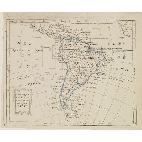
L'Amérique Méridionale, Divisée en ses Principaux Etats.
Map of South America, from Atlas de la Géographie de toutes les parties du monde .. Ouvrage destiné pour l'education, et nécessaire aux négocians, aux voyageurs, aux fonctionnaires publics, aux banquiers, aux agens de change, aux littérateurs, etc..
€60
Maker : DELAPORTE, L'Abbé.
Place : Paris, Prudhomme, Levrault, Debray
Date : 1806
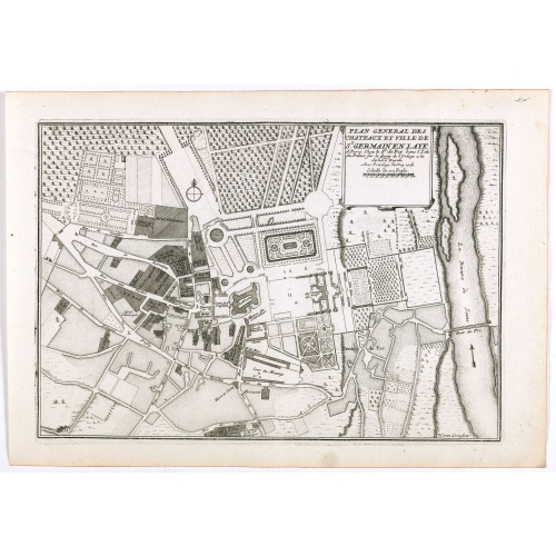
Plan general des chateaux et ville de St Germain en Laye.
City plan of St Germain en Laye, from Nicolas de Fer's "L'Atlas curieux ou le Monde réprésente dans des cartes. "The "Atlas Curieux" is a geographic encyclopedia of images and a celebration of the French Empire under the Sun King, with maps of French possessions in the western hemisphere, maps of France, with detailed views of the grand waterworks at Marly, views of the great palaces and chateaux, views and plans of the Paris Observatory, and samples of military architecture. Issued in six ann...
€60
Maker : DE FER, N.
Place : Paris
Date : 1705
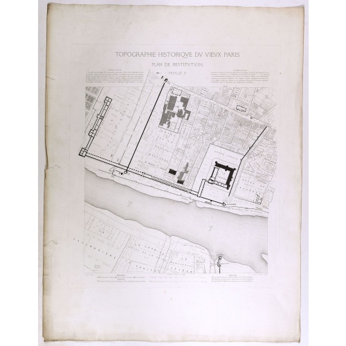
Topographie historique du vieux Paris / Plan de restitution Feuille V.
Copper engraved plan centered on Louvre by Jean-Joseph Sulpis (1826–1911) after a model by Adolphe Berty. Plate 5 from "Topographie historique du vieux Paris". The publication was started by Adolphe Berty and continued by H. Legrand and L.-M. Tisserand, Th. Vacquer and Camille Platon.
€75
Maker : BERTY, A.
Place : Paris
Date : 1866-1897
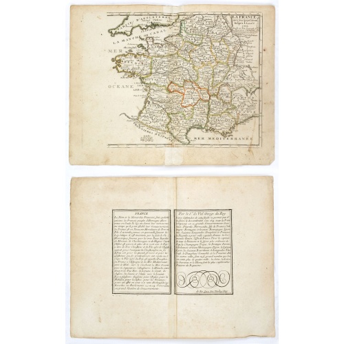
La France avec ses acquisitions jusqu'à l'année 1705.
An interesting small map of France by Nicolas de Fer. From his rare "Petit et Nouveau Atlas". The first edition was published in 1697 and was republished in 1705 and 1723. The finely engraved map is dated 1705 and was engraved by C. Inselin, the same engraver who engraved the maps in de Fer's later Atlas Curieux, published 1700-1705.
€75
Maker : DE FER, N.
Place : Paris
Date : 1705
Postage & Shipping
-
Item Location
Terms and conditions - Item Location
- 75013, Ile-de-France, France
- Ships To
- United States, United Kingdom, Albania, Argentina, Armenia, Australia, Austria, Bahamas, Belgium, Bermuda, Bosnia and Herzegowina, Brazil, Bulgaria, Canada, Chile, China, Costa Rica, Denmark, Dominica, Egypt, El Salvador, Finland, France, Germany, Greece, Guatemala, Hong Kong, Hungary, Iceland, India, Italy, Japan, Korea (South), Kuwait, Liechtenstein, Lithuania, Luxembourg, Madagascar, Mexico, Monaco, Morocco, Netherlands, Netherlands Antilles, New Zealand, Norway, Paraguay, Peru, Philippines, Poland, Portugal, Qatar, Reunion, Romania, San Marino, Saudi Arabia, Seychelles, Singapore, Slovenia, South Africa, Spain, Sri Lanka, Suriname, Sweden, Switzerland, Taiwan, Thailand, Tunisia, Turkey, United Arab Emirates, Uruguay, Vietnam
- Pick-ups
- Buyer can pick-up
This item is owned and offered by the seller Librairie_Loeb-Larocque - All items are available for immediate sale, offered subject to prior sale.
Invoices are created by the seller by using our shopping cart or be prepared by the seller the day following the order and are emailed to you.
Items offeres by different sellers are invoiced separately.
Shipping fees are extra. The buyer is responsible for all applicable taxes, including any VAT, customs clearance, import duties, or equivalent costs arriving at the customer's home border. Payment is due on receipt of the invoice. The item(s) are shipped as soon as possible after receipt of your payment.
Before buying please read the complete Terms Conditions of Sale.
- Payment Methods
- Visa, Mastercard, Bank Transfer, American Express, iDEAL, PayPal, Google Pay
- Returns Accepted
- No
Post Message
Feel free to ask the seller a question. Please note that the seller could be located in an area with a different time zone. Our seller will do their best to respond within 24 hours.Post your message below.
Sign in to ask the seller a question.