ID: 452
Open
Listing ID: #452 has been added to your wishlist.
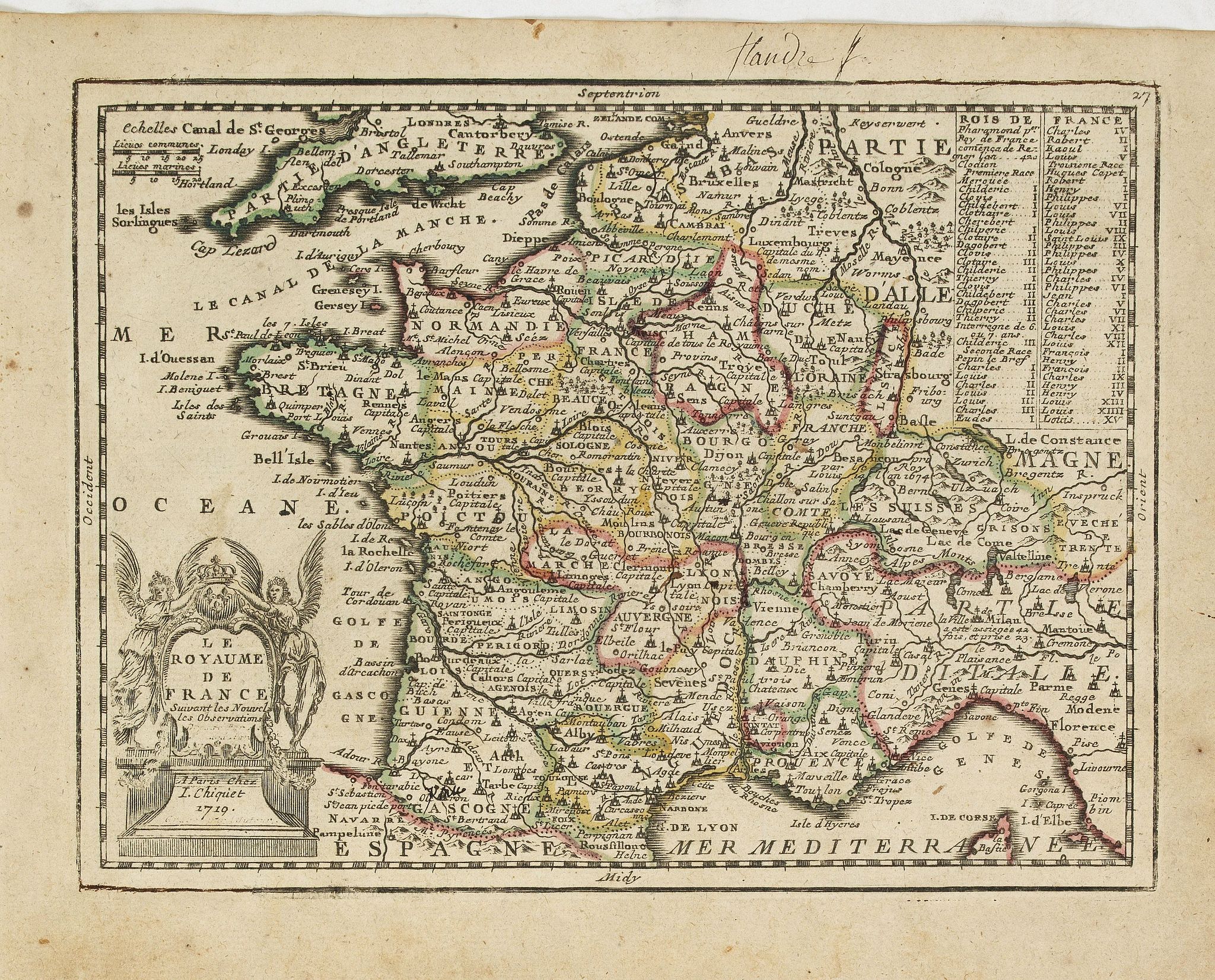
Le Royaume de France..
BuyNow for €75
- Maker :
- CHIQUET, J.
- Place :
- Paris
- Date :
- 1719
- Color :
- In original outline colors
- Height mm.:
- 163
- Width mm.:
- 222
- Condition :
- A good and dark impression. Paper slightly age-toned.
- Bibliography :
- -
- Seller's ref. :
- 34374
This item is offered by Librairie_Loeb-Larocque
See other Items from this seller- Postage
-
France
€15 to France
- Select Country
- Zip/Post Code
- Quantity
€75
Description
Lovely small map of France with decorative title cartouche and a panel in the upper right corner listing local rulers.From Le Nouveau et Curieux Atlas Geographique et Historique.. by Jacques Chiquet.
Together with an engraved French text sheet entitled Le Royaume de France.
![[John Smith caught by the French.]](/uploads/cache/40473-500x500.jpg)
[John Smith caught by the French.]
In 1615, during one of John Smith’s voyages across the Atlantic, he was caught by some French pirates. While at sea in captivity he was forced to suffer great hardships but, one night during a storm in the Bay of Biscay when the crew were forced below deck, he managed to escape in a rowing boat. All night he was tossed about by the waves with only a pike to help him steer. The small boat was eventually driven ashore on the island of Charante where some bird-catchers found him almost dead from ...
€75
Maker : GOTTFRIED, J.L. / DE BRY.
Place : Frankfurt, M.Merian
Date : 1633

Die Vereinigten Staaten von Nord Amerika..
Uncommon map of the east coast of North America, including the Great Lakes area. To the right inset map of New Foundland. After the map by William Faden of 1783. With color-key.
€500
Maker : MARIANUS, J.
Place : Germany, 1790
Date : 1790
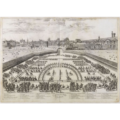
Comparse des Cinq Quadrilles dans l'Amphitheatre.
An early and intriguing engraving recording one of the most celebrated and spectacular festivals held at Paris by the young Louis XIV. The multi-day tournament took place in front of the Tuileries, in a huge area today known as the Place de Carrousel. Groups of costumed noblemen representing "Romans" (lead by the French King), "Persians," "Turks," "Indians" and "Americans" participated in games of skill. This engraving was included as an illustration to a scarce work titled, "Courses de Testes e...
€550
Maker : SYLVESTRE, I.
Place : Paris, Imprimerie royale
Date : 1670
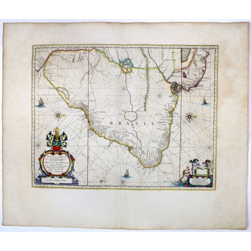
Brasilia.
Striking old color example of Blaeu's second map of Brazil prepared by Krystof Arciszewski, a Polish general who worked for the Dutch West Indian Company. The map perpetuates various myths, including the Parime Lago , although it is generally more accurate than its predecessors. The map includes the region from the mouth of the Amazon River to the La Plata. Orientated with west to the top. Including the mouth of the Amazon.Brasil was first discovered by Pedro Álvares Cabral in 1500 while en rou...
€750
Maker : BLAEU, J.
Place : Amsterdam, 1647
Date : 1647
Postage & Shipping
-
Item Location
Terms and conditions - Item Location
- 75013, Ile-de-France, France
- Ships To
- United States, United Kingdom, Albania, Argentina, Armenia, Australia, Austria, Bahamas, Belgium, Bermuda, Bosnia and Herzegowina, Brazil, Bulgaria, Canada, Chile, China, Costa Rica, Denmark, Dominica, Egypt, El Salvador, Finland, France, Germany, Greece, Guatemala, Hong Kong, Hungary, Iceland, India, Italy, Japan, Korea (South), Kuwait, Liechtenstein, Lithuania, Luxembourg, Madagascar, Mexico, Monaco, Morocco, Netherlands, Netherlands Antilles, New Zealand, Norway, Paraguay, Peru, Philippines, Poland, Portugal, Qatar, Reunion, Romania, San Marino, Saudi Arabia, Seychelles, Singapore, Slovenia, South Africa, Spain, Sri Lanka, Suriname, Sweden, Switzerland, Taiwan, Thailand, Tunisia, Turkey, United Arab Emirates, Uruguay, Vietnam
- Pick-ups
- Buyer can pick-up
This item is owned and offered by the seller Librairie_Loeb-Larocque - All items are available for immediate sale, offered subject to prior sale.
Invoices are created by the seller by using our shopping cart or be prepared by the seller the day following the order and are emailed to you.
Items offeres by different sellers are invoiced separately.
Shipping fees are extra. The buyer is responsible for all applicable taxes, including any VAT, customs clearance, import duties, or equivalent costs arriving at the customer's home border. Payment is due on receipt of the invoice. The item(s) are shipped as soon as possible after receipt of your payment.
Before buying please read the complete Terms Conditions of Sale.
- Payment Methods
- Visa, Mastercard, Bank Transfer, American Express, iDEAL, PayPal, Google Pay
- Returns Accepted
- No
Post Message
Feel free to ask the seller a question. Please note that the seller could be located in an area with a different time zone. Our seller will do their best to respond within 24 hours.Post your message below.
Sign in to ask the seller a question.